Ten hikers (and a Spaniel named Cooper) ventured to Zoar Valley on a beautiful, sunny fall day. The trees already had a bit of color, and the air had a touch of fall scents and damp earth. The hike started at the Valentine Flats parking area on Valentine Road. Before heading down to the Flats, we hiked out to the Point for a fabulous view of Cattaraugus Creek and the gorge. We then headed back to the main trail and down to the Flats, the site of an old farmstead, and dropped down to the creek. John Sander (co-leader) offered various bits of interesting trivia about the area (e.g., the rocks in the gorge floor are 350 million years old, the granite boulders along the creek are from Canada; they were deposited here by the last glaciers and are known as erratics). After enjoying the Flats and the creek for about 20 minutes, we headed for the North Rim Trail, with a pit stop at Tim Hortons. 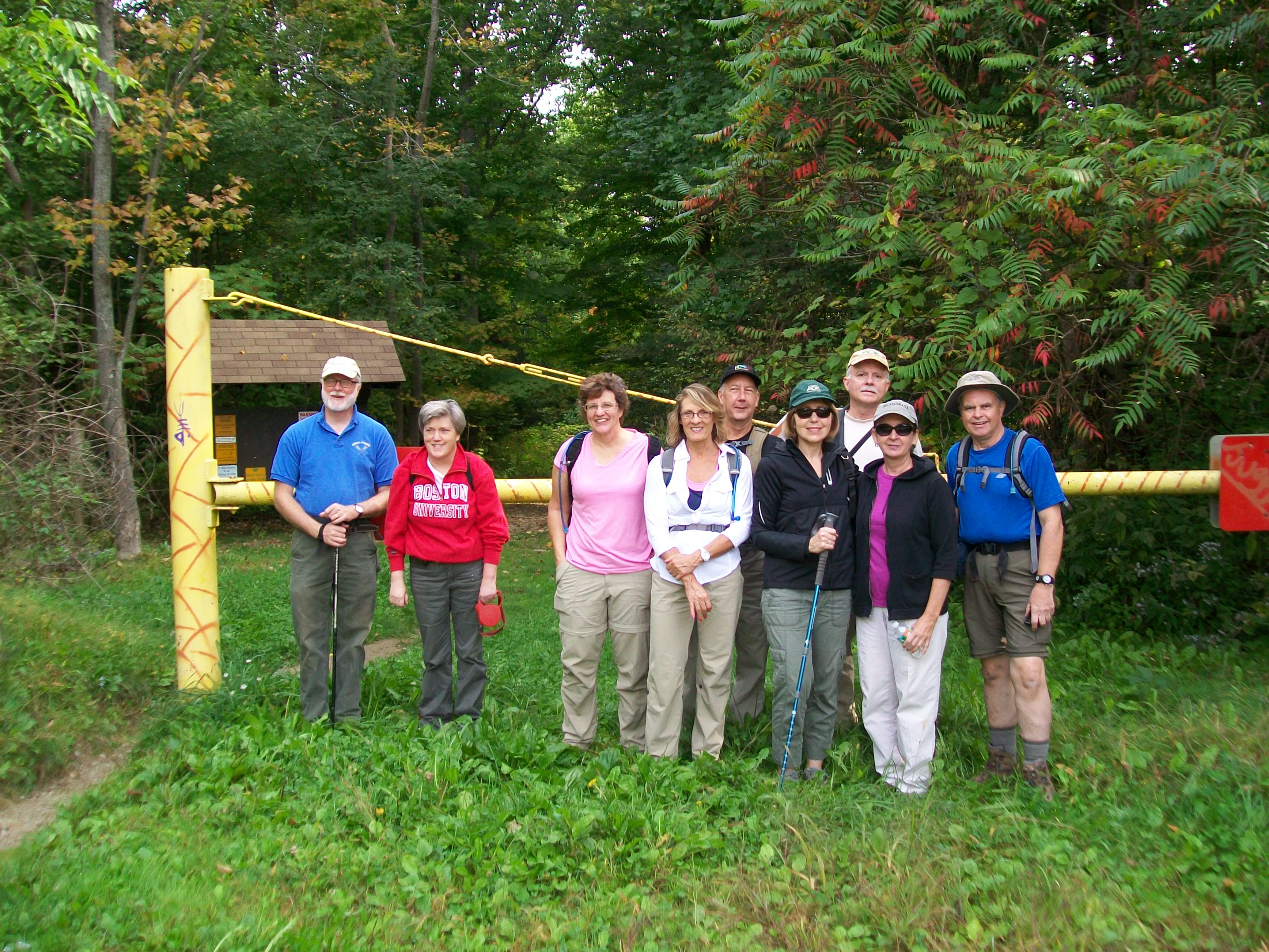
For this part of the hike we parked at the DEC parking area on Vail Road near Unger Road and hiked to where the overhead cables with big orange balls cross the gorge. At this point, we headed east for about a mile, enjoying the sights and scents of the deep woods. There are few places where you can see the gorge along this part of the trail, but the cool air, earthy scents, and natural beauty of the woods are just as inviting. We encountered several relict vernal pools, toads, some very old trees (as evidenced by their size and buttresses), and numerous mushrooms, and retrieved a vintage 1962 Canada Dry bottle (worth $7 on the internet). We then reversed course and headed west. When we again reached the overhead cables, we could hear a helicopter cruising through the gorge just below us, well below the cables and obscured by trees (practice, possible rescue?). After passing the cables, the gorge can be seen from many locations along the trail.
Our first stop was the Knife Edge, a precarious narrow ridge used by some intrepid hikers to reach the gorge floor 400+ feet below – definitely not for everyone! Several of us climbed about a third of the way down the Edge to get a better view of the gorge and, hopefully, to see the bald eagles that frequent this area (we didn’t). We then continued past the Knife Edge for about a mile, stopping periodically to snap photos of Cattaraugus Creek as it snakes through the gorge. This part of the trail offers the best views of the gorge in the entire Multiple Use Area. We then headed back and had a leisurely walk to our cars. The hike was probably about 5 or 6 leisurely miles. Submitted by JoAnn Ratajczak and John Sander